|
|
Post by Marsrocks on Nov 18, 2009 14:03:11 GMT -5
|
|
|
|
Post by Marsrocks on Nov 18, 2009 14:25:22 GMT -5
|
|
|
|
Post by Marsrocks on Nov 24, 2009 11:25:53 GMT -5
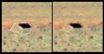
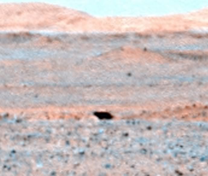
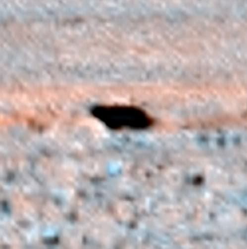
Undercoveralien has posted a very similar feature on youtube found at on Mars at a different place: Video description: "A disturbing image was caught by Google Earth in Mars surface and doesn't look like a processing error... A clear and large entrance to some underground level and ain´t referring to caves, holes or craters, but a like-concrete square structure settled in the coordinates 45°56'46.91''N, 23°32'15.49''E. So far the best evidence of intelligent activity in Mars. Discovery credits to BLUSTAR, from Italy. The kmz file is available to download in bbs.keyhole.com/ubb/ubbthreads... " |
|
|
|
Post by Marsrocks on Nov 24, 2009 12:05:22 GMT -5
|
|
|
|
Post by Marsrocks on Nov 24, 2009 12:12:32 GMT -5
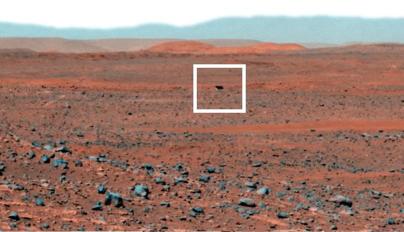
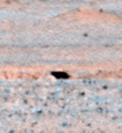
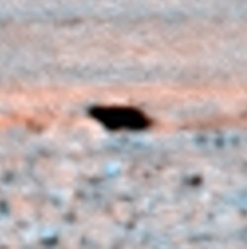
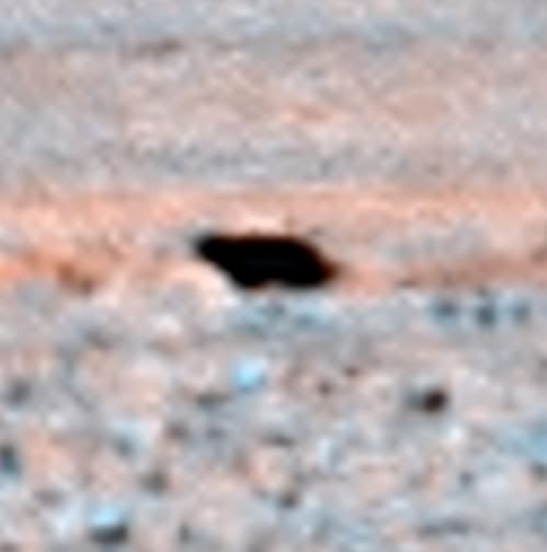
In this case, the undercover alien square hole is simply not there in the original nadir ESA image. What has probably happened is that Google Earth has combined two photographs along that line, and the stitching together of the two photographs has somehow created the defect. 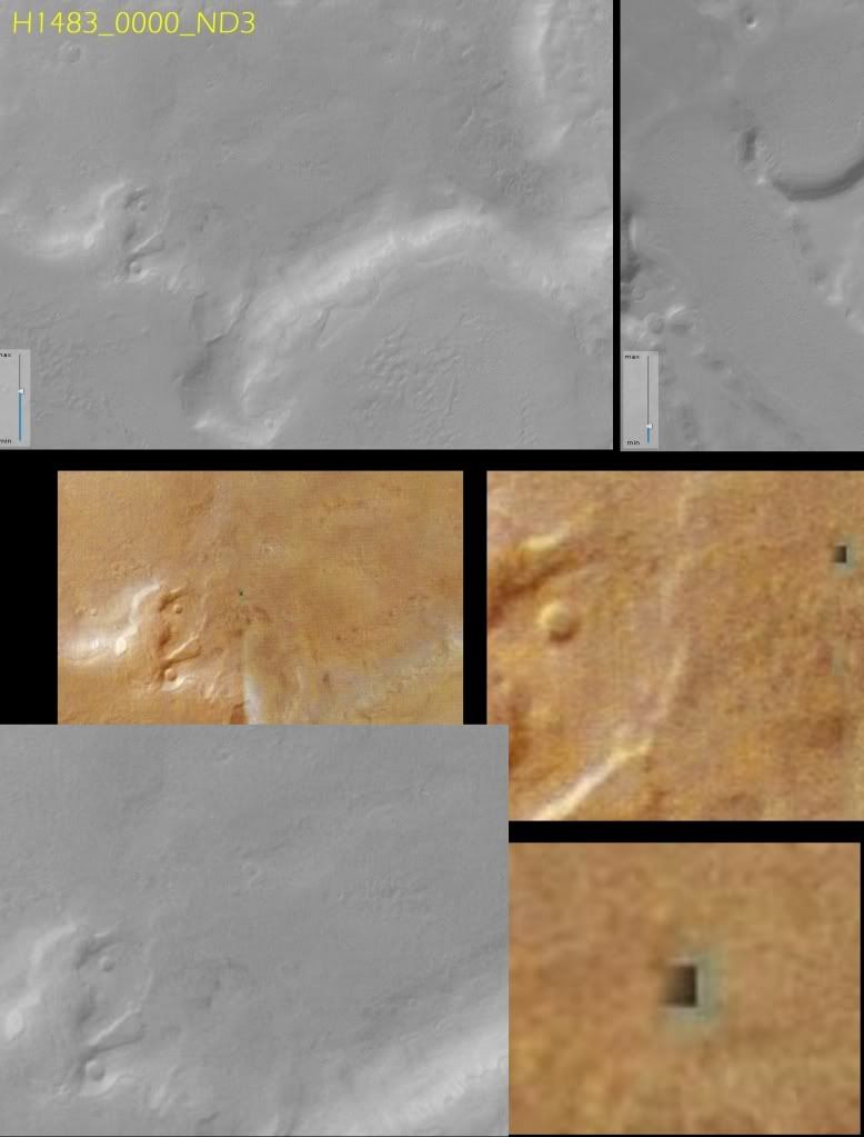 |
|
|
|
Post by Marsrocks on Nov 24, 2009 12:19:00 GMT -5
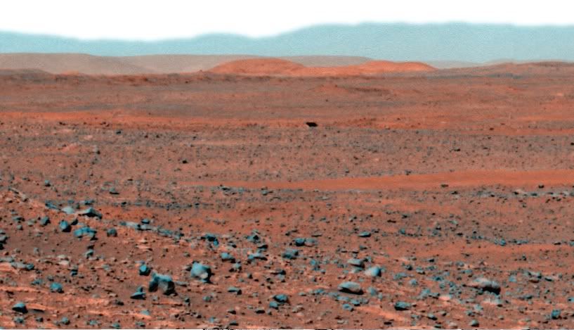
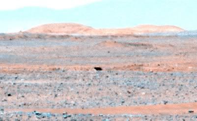
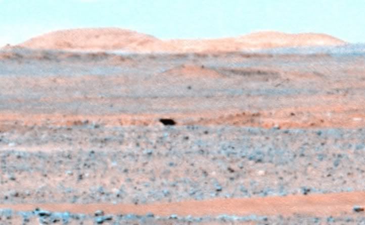
This image shows the defect falls squarely on the vertical line where the images displayed by Google Earth were probably stitched together: 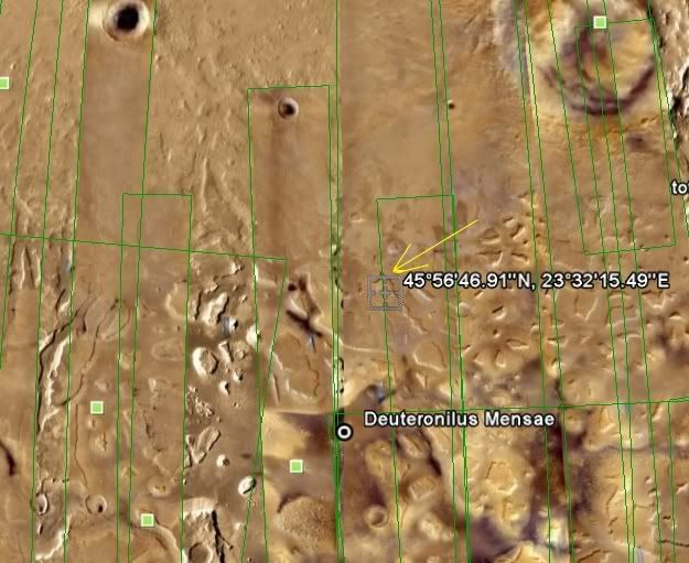 |
|