|
|
Post by Marsrocks on Jun 8, 2011 11:42:35 GMT -5
|
|
|
|
Post by Marsrocks on Aug 31, 2011 9:25:58 GMT -5
|
|
rdunk
Anomaly Hunter

Posts: 15
|
Post by rdunk on Oct 2, 2011 14:22:42 GMT -5
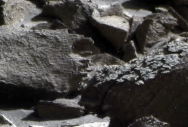
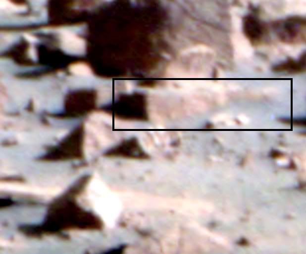
It took me a while to actually see it in the pics, but I finally did. I don't know what it is, but I do think "rebar" is appropriate.
Good find!.
|
|
convex
Anomaly Finder
www.map-base.info
Posts: 75
|
Post by convex on Oct 2, 2011 19:23:57 GMT -5
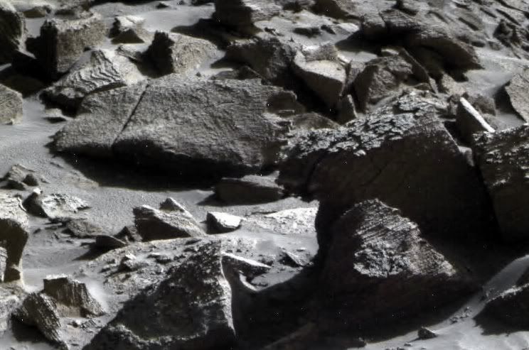
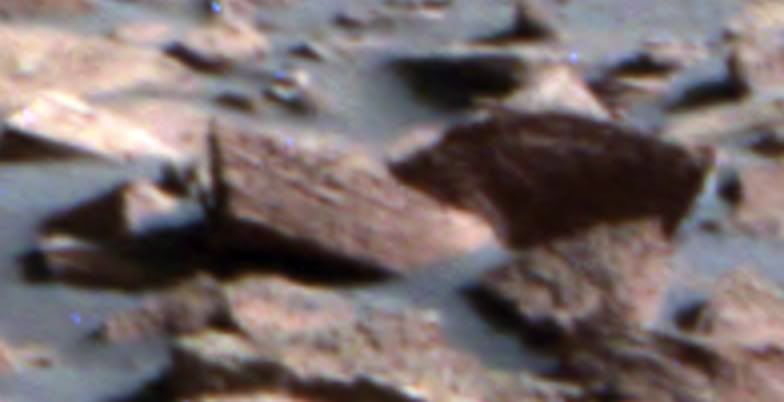
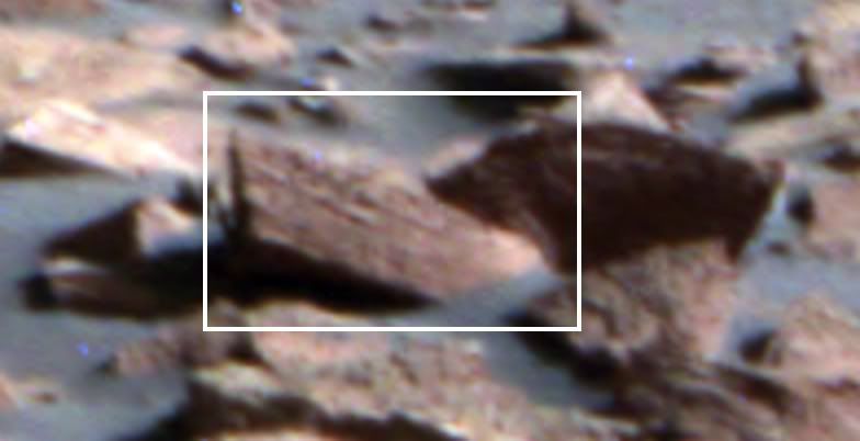
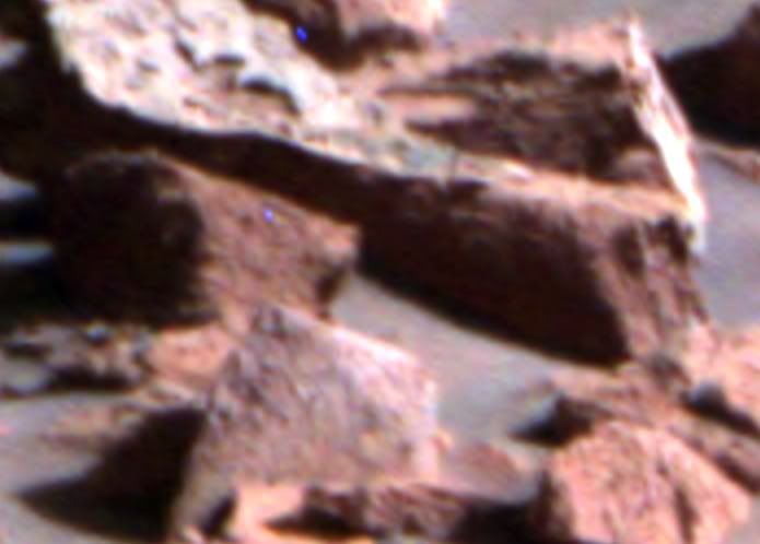
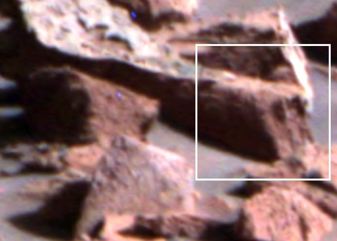
In the first moment I thought, these are just stones. But on closer look they really look like they have been sculptured Great find!! 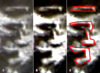 It's strange, but somehow I have the feeling as if I had already seen these characters. I hope i can figure out what it was. But it looks like, the whole image is a treasure trove of odd things. Check out these structures:  The font examples and the sculptures make it possible to compare them with counterparts here on Earth. It's a pity that I have so little time at the moment. I hope someone else will do that. This is highly interesting. |
|
convex
Anomaly Finder
www.map-base.info
Posts: 75
|
Post by convex on Oct 7, 2011 4:10:11 GMT -5
Oh dear! Now i understand what rebars are. ::)
When I showed these pictures my girlfriend, she said: Oh, they look like exposed rebars.
So I must extend my suspicions. Either these are signs or exposed rebars...
|
|
|
|
Post by Marsrocks on Oct 7, 2011 21:48:18 GMT -5
:)
|
|
|
|
Post by Marsrocks on Nov 22, 2011 20:32:04 GMT -5
|
|
|
|
Post by Marsrocks on Nov 26, 2011 7:57:17 GMT -5
|
|
convex
Anomaly Finder
www.map-base.info
Posts: 75
|
Post by convex on Nov 26, 2011 14:47:09 GMT -5
Hi MarsRocks, thank you for the links. These images seems to be just recently available at PDS-Geosciences (11/22/2011). Just the right time for a detailed analysis. 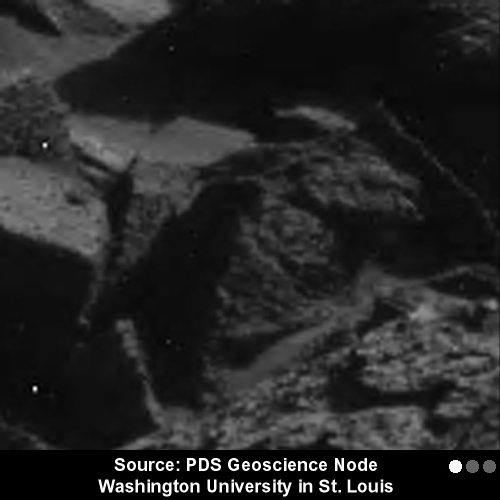 It is always interesting to compare the different images. They show what important role image optimization techniques can have. Without these techniques, an accurate analysis would be almost useless. It is amazing that there are no official (computed) color images from NASA. Instead, private persons are forced to write the software in their spare time to fill this gap. But of course, this has its reasons. 8-) By the way, which standard software do you use to view images that are in .img file format? (or .imq, .jp2, and so on) In this case i have used NasaView (v. 3.8.0) to view images at PDS-Geosciences. However, the options for image processing are very limited. So i have converted them into Jpeg (Almost any other image processing software is better suited.). |
|
|
|
Post by Marsrocks on Nov 26, 2011 21:40:35 GMT -5
|
|
convex
Anomaly Finder
www.map-base.info
Posts: 75
|
Post by convex on Nov 27, 2011 13:19:13 GMT -5
> " I'm liking this anomaly more and more. There are so many geometric shapes in this small area." I agree with you wholeheartedly. It's just a small area, but extremely interessting from archaeological point of view. Maybe this was just a small construction, or a kind of small memorial, or the biggest part is buried under the ground. Who knows. On Sol time 2163 the JPL used the label "Site 111 - Drive 303" to mark it on the official traverse map. There are several routes, where the rover apparently just sped through, but it is conspicuous that the rover has spent several days around this site. 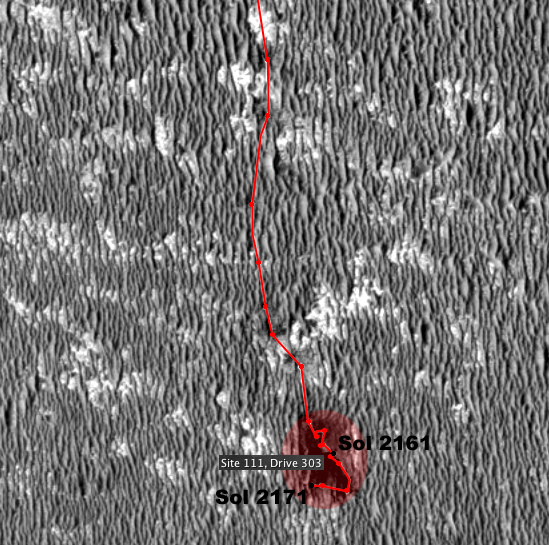 Just an insignificant observation. Just an insignificant observation.With Gimp I have not much experience. I'm too much accustomed to Photoshop. Sometimes I get mad when choosing the appropriate software. :o Open EV sounds interessting. I'll test it. Thank you. |
|
|
|
Post by Marsrocks on Nov 27, 2011 18:40:19 GMT -5
OpenEV is very slow and can be difficult to use - so be patient - pick a time when you have plenty of time when you give it a shot.
Choose small areas if you intend to crop with it - until you get the feel for it.
|
|
|
|
Post by Marsrocks on Dec 17, 2011 11:58:57 GMT -5
|
|
|
|
Post by Marsrocks on Dec 17, 2011 12:00:31 GMT -5
|
|
|
|
Post by Marsrocks on Dec 30, 2011 20:14:42 GMT -5
|
|